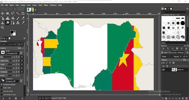
Using graphics software like GIMP/Photoshop, Inkscape/Illustrator, we could fill polygons shapes with an image easily, now how do we do the same in QGIS?
Yes, QGIS is not a graphic software yet it has the capability to fill polygons shapes with an image. Let make use of a flag image to fill a country's polygon shape. I will use Nigerian flag and its boundary polygon shape for this demonstration however, you can prety much use any image with any polygon shape of your chosen.
In other words, all we are doing is to insert image in shape in QGIS. Lets see how we can achieve it.
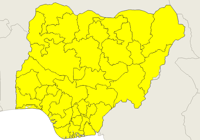
First get the image flag and the vector polygon of Nigeria administrative boundaries.
Now, from the polygon's property window, open symbology tab and select 'Raster Image Fill' as seen below. You can now set path to the image, set the size of the image, set its opacity, etc as you require fit.


No comments:
Post a Comment