Let's talk about how plots of land are measured in Nigeria.
Just like in other parts of the world, in Nigeria landed properties are either measured in Hectares, Acres, Meters or Feet. The value of these measurements are affected by human and environmental factors.
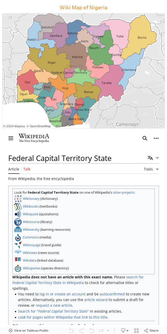
For example 1-Hectare (1ha) of land in the heart of the federal capital Abuja will not be of the same value as 1-Hectare (1ha) of land located in the heart of any states capital.
Generally speaking, Systems of measurement in modern use include the metric system, the imperial system, and United States customary units.
Nigeria is among the countries which have officially adopted the metric system.

That not withstanding, many Nigerians tend to utilize other system of measurements when referring to the size of land or parcels.
Hectare
A hectare (ha) is a metric unit of square measure, equal to 100 ares (2.471 acres or 10,000 square metres).
Acre
The acre (acre) is a unit of land area used in the imperial and US customary systems. It is defined as the area of 1 chain by 1 furlong (66 by 660 feet), which is exactly equal to 1⁄640 of a square mile, 43,560 square feet, approximately 4,047 m2, or about 40% of a hectare.
Meter
The metre (m) is a unit of length in the metric system, and is the base unit of length in the International System of Units (SI).
Feet
The feet "foot - singular" (ft) is a unit of length in the imperial and US customary systems of measurement. Since 1959, both units have been defined by international agreement as equivalent to 0.3048 meters exactly.
From above explanation, we can that there are two metric (ha and m) and tow imperial (arce and ft) systems of land measurement commonly used in Nigeria.
The size vary from state to state. But generally, the size will likely be measured in feet as 50x50ft, 50x100ft or 100x100ft.
In relation to Nigeria landed property measurements, the above definitions means a plot can be and of these size:-
1) 50 x 100ft / 15.2 x 30.5m - 463.6sqm (which means there are 8.7 plots of land measuring 463.6sqm in an acre)
2) 60 x 120ft / 18.3 x 36.6m - 669.8sqm (which means there are 6 plots of land measuring 669.8sqm in an acre)
3) 100 x 100ft / 30.5 x 30.5m 930.25sqm (which means there are 4.3 plots of land measuring 930.25sqm in an acre)
Thanks for reading.
Just like in other parts of the world, in Nigeria landed properties are either measured in Hectares, Acres, Meters or Feet. The value of these measurements are affected by human and environmental factors.
For example 1-Hectare (1ha) of land in the heart of the federal capital Abuja will not be of the same value as 1-Hectare (1ha) of land located in the heart of any states capital.
Generally speaking, Systems of measurement in modern use include the metric system, the imperial system, and United States customary units.
Nigeria is among the countries which have officially adopted the metric system.
Metric system adoption map (In Green - Countries which have officially adopted the metric system)
That not withstanding, many Nigerians tend to utilize other system of measurements when referring to the size of land or parcels.
Hectare
A hectare (ha) is a metric unit of square measure, equal to 100 ares (2.471 acres or 10,000 square metres).
Acre
The acre (acre) is a unit of land area used in the imperial and US customary systems. It is defined as the area of 1 chain by 1 furlong (66 by 660 feet), which is exactly equal to 1⁄640 of a square mile, 43,560 square feet, approximately 4,047 m2, or about 40% of a hectare.
Meter
The metre (m) is a unit of length in the metric system, and is the base unit of length in the International System of Units (SI).
Feet
The feet "foot - singular" (ft) is a unit of length in the imperial and US customary systems of measurement. Since 1959, both units have been defined by international agreement as equivalent to 0.3048 meters exactly.
From above explanation, we can that there are two metric (ha and m) and tow imperial (arce and ft) systems of land measurement commonly used in Nigeria.
What Is The Size Of A Standard Plot Of Land In Nigeria?
The size vary from state to state. But generally, the size will likely be measured in feet as 50x50ft, 50x100ft or 100x100ft.
In relation to Nigeria landed property measurements, the above definitions means a plot can be and of these size:-
1) 50 x 100ft / 15.2 x 30.5m - 463.6sqm (which means there are 8.7 plots of land measuring 463.6sqm in an acre)
2) 60 x 120ft / 18.3 x 36.6m - 669.8sqm (which means there are 6 plots of land measuring 669.8sqm in an acre)
3) 100 x 100ft / 30.5 x 30.5m 930.25sqm (which means there are 4.3 plots of land measuring 930.25sqm in an acre)
Thanks for reading.